"Geocaching"
and the geocaching logo are tradmarks of Groundspeak, Inc. and are covered
by their usage
agreement
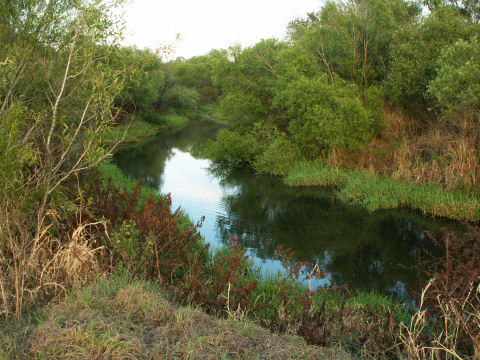
View of
Gilley creek - N27 30.161 W82 17.681
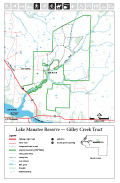
GILLEY
CREEK TRACT INTRODUCTION
This
webpage and it’s content is intended as an introduction and
compilation of information to help hikers, mountain bikers, and geocachers
get the most from their experience visiting South
West Florida Water Management District’s (SWFWMD) Gilley
Creek Tract area of the Lake Manatee Reserve in Manatee County, Florida.
Located just east of Lake
Manatee State Park this 5,800 acre area is open to the public
from sunrise to sunset for hiking, biking, fishing and equestrian
use. The 12 miles of multi-use trails wind thru pine flatwoods, pastures,
along creek beds and thru beautiful oak hammocks. The area is home
to many of Florida’s wildlife species including deer, coyote,
bobcat, panther, wild hog and numerous birds species.
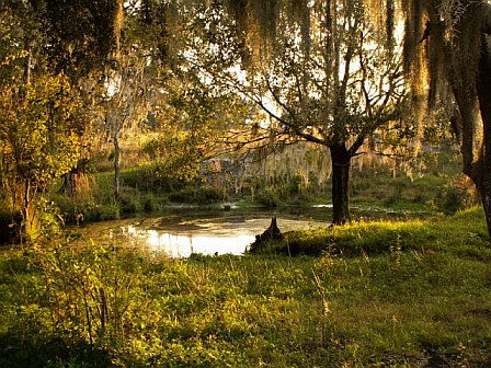
Watering
Hole - N27 30.952 W82 17.449
Some
short sections of trail in the southern section around Oak Knoll Road
are leased to farmers for occasional cattle grazing but the trails
are always open for use thru these sections. For the extreme geocachers
there are currently 33 geocaches located within the tract including
3 multi-caches and 1 mystery cache.
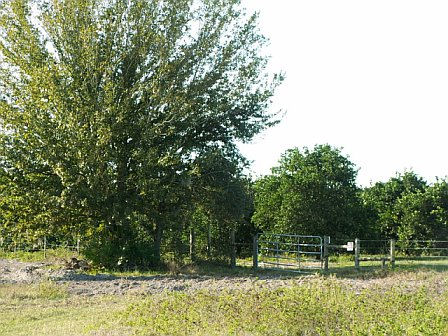
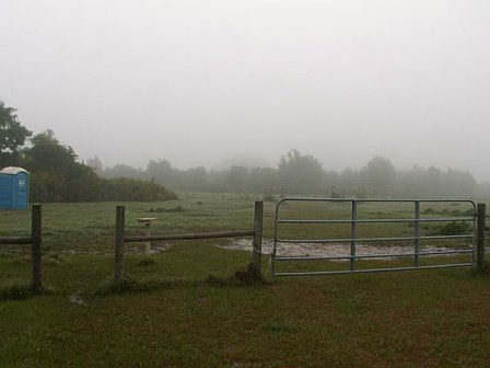
Orchard
Gate - N27 31.074 W82 16.801
HISTORY
This
tract of land was originally part of Rutland Ranch, a family owned
cattle ranch that encompassed much of the area from Duette to Parrish.
This tract is located just off of SR 675 which is also known as Rutland
Road. This area is now SWFWMD property maintained to protect the main
branch of Gilley Creek. This flows into Lake Manatee which is the
primary source for drinking water for the residents of Manatee County.
The goal of SWFWMD in this area is to restore the hydrology or natural
flow of water thru the land since in the 1950’s, when this was
Rutland Ranch, the area was extensively ditched for the pastures and
crop lands.
Presently
there is only one public parking location and this is near the southern
most section of the tract (N27 29.881 W82 18.695). I-75 Exit 220 SR64,
travel east approximately 11 miles and turn left (north) on SR 675
just past the Manatee Fish Camp. Travel approximately 1-1/2 miles
on SR 675 and you will find a passageway over the ditch to the grass
parking lot on your right (northeast side of the roadway). You can
also get here traveling east approximately 9-1/2 miles on SR 675 from
301 near Parrish. This is sectioned off with a barbed wire fence and
has an opening for hikers and bikers and a large gate for equestrian
passage. They is a lot of room for parking both vehicles and horse
trailers so please do not block either of the entrances.